Image
Image

body
Drone pilots need a special use permit to launch, land, or operate a drone, or unmanned aerial system (UAS), at an MDC conservation area. EXCEPTION: Drones may be used to recover wounded black bear, deer, elk and turkey with prior authorization from a conservation agent. Drone operators must follow all FAA rules and regulations. Areas such as nature centers and staffed shooting ranges with routine, heavy public use are not appropriate locations for recreational drone use.
Body
Guidelines for Recreational Drone Flying on MDC Areas
Know Before You Go
Launching, landing, or operating a UAS from a conservation area requires a special use permit.
Special Use Permit
If you need a special use permit, get more details and apply.
Body
Recreate Responsibly Around Wildlife
- Do not operate your UAS in a manner that harasses wildlife or other area users.
- Drones may not be used to pursue, take, attempt to take, drive, or molest wildlife.
- Do not fly over or near wildlife as this can create stress that may cause significant harm and even death.
- Drones may be used to recover wounded black bear, deer, elk and turkey with prior authorization from a conservation agent.
Fly Safely and Stay in Control
- Keep your UAS within your visual line of sight at all times.
- Take lessons and learn to operate your UAS safely.
- Remain well clear of and do not interfere with manned aircraft operations.
- Keep your drone away from populated and noise-sensitive areas, such as campgrounds and trailheads.
- Adhere to FAA rules for recreational flyers.
Adapted from the U.S. Forest Service's Recreational Drone Tips.
Title
Aerial Photos Taken by Drone Over MDC Areas
Image
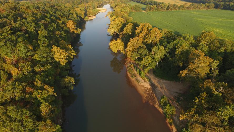
Caption
Aerial photo of the Gasconade River, Cooper Hill CA, Osage County
Credit
MDC
Right to Use
Use of this image is restricted to MDC only
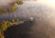
Image

Caption
Aerial photo at Ben Branch Lake, Osage County
Credit
MDC
Right to Use
Use of this image is restricted to MDC only
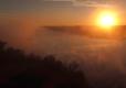
Image

Caption
Aerial photo at Bushwhacker Lake CA, Vernon County
Credit
MDC
Right to Use
Use of this image is restricted to MDC only
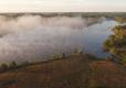
Image

Caption
Aerial photo at Bushwhacker Lake CA, Vernon County
Credit
MDC
Right to Use
Use of this image is restricted to MDC only
Image

Caption
Aerial photo at Bushwhacker Lake CA, Vernon County
Credit
MDC
Right to Use
Use of this image is restricted to MDC only
Image

Image

Image
Image
Image