


Body
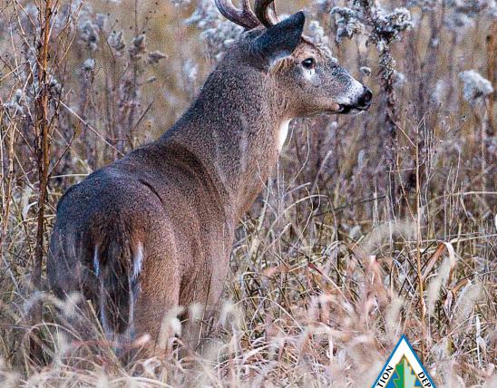
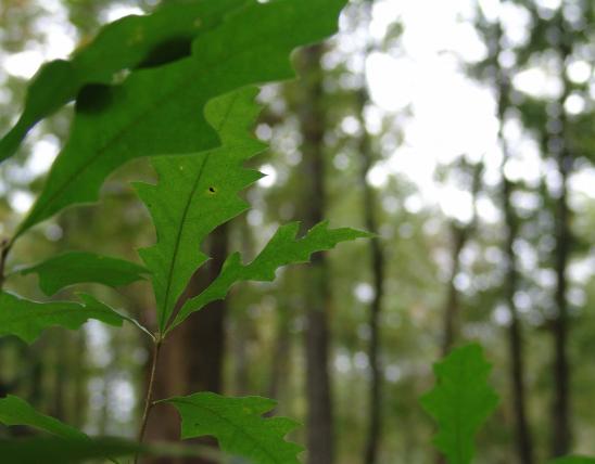
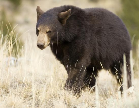
Hunters, anglers, and wildlife viewers can visit new places through the Missouri Outdoor Recreational Access Program (MRAP). MRAP lands are privately owned properties that the landowner has allowed walk-in public access.
Hunters, anglers, and wildlife viewers can visit new places through the Missouri Outdoor Recreational Access Program (MRAP). MRAP lands are privately owned properties that the landowner has allowed walk-in public access.
The detailed property maps have embedded coordinates to allow for easier navigation on MRAP properties. Use a GPS-enabled Android or Apple device to track your position on the property in relation to the boundaries and other features shown on the map. You will need a geospatial PDF reader app such as Avenza Maps.
| Name | Notice | County | Access Type | Habitat | Region |
|---|---|---|---|---|---|
| Marian's Place Fishing Map |
Saint Louis | Fishing Only | Access to 0.5 miles of Mississippi River |
Saint Louis | |
| Marion Bottom Overlook tract 74 acres Map |
Cole, Moniteau | Small Game and Turkey Hunting | Crop fields, grass buffers, forest |
Central | |
| Marmaton Bottoms Tract 144 acres Map |
Vernon | Youth Hunting and Fishing Only | Forest, crops, wetland |
Kansas City | |
| McBath Tract 165 acres Map |
Caldwell | Youth Hunting and Fishing Only | Mixed (grassland, forest, crop) |
Northwest | |
| Mile Long Farm Tract 214 acres Map |
Caldwell | All Access Hunting and Fishing | Cropland, grassland, wooded draws, ponds |
Northwest | |
| Military Trail tract 278 acres Map |
Bollinger | Small Game and Turkey Hunting | Woodland, forest |
Southeast | |
| Nebo Hill Tract 81 acres Map |
Clay | Youth Hunting and Fishing Only | Mostly forest, old field |
Kansas City | |
| Newark Drive 181 acres Map |
Linn | Small Game and Turkey Hunting | Forest, Grassland, Old Field, Pond, Food Plot |
Northwest | |
| Quad-E-Wildlife Ranch 960 acres Map |
Hickory | Archery Hunting | Forest, native grass, ponds, creek |
Southwest | |
| Ripley Tract 61 acres Map |
Ripley | All Access Hunting and Fishing | Forest |
Ozark | |
| Route A Tract 371 acres Map |
Grundy | All Access Hunting and Fishing | Native grass and forbs, forest, ponds |
Northwest | |
| Samuel Ziegler Prairie Tract 195 acres Map |
Sullivan | All Access Hunting and Fishing | Native grass |
Northeast | |
| Schieber Farm Tract 215 acres Map |
Daviess | All Access Hunting and Fishing | Cropland, grass buffers, wooded draws |
Northwest | |
| SF Tract 2271 acres Map |
Gentry | All Access Hunting and Fishing | CRP, Crop, Forest |
Northwest | |
| Sheridan 45 Tract 45 acres Map |
Nodaway | All Access Hunting and Fishing | Native grass and forbs, wooded draws |
Northwest | |
| Slater Branch 80 acres Map |
Chariton | Small Game and Turkey Hunting | Riparian Woods, Forest, Grassland |
Northwest | |
| Smoky Creek tract 280 acres Map |
Linn | Small Game and Turkey Hunting | Native grass, wooded draws |
Northwest | |
| South Fork Tract 325 acres Map |
Howell | All Access Hunting and Fishing | Forest and woodland, pasture, native grass |
Ozark | |
| Stilwell Prairie Tract 376 acres Map |
Vernon | Youth Hunting and Fishing Only | Native grass and forbs, forest, ponds |
Kansas City | |
| Swaith's Place Tract 159 acres Map |
Caldwell | Youth Hunting and Fishing Only | Mostly forest, native grass, pond |
Northwest | |
| Sweet Springs Tract 163 acres Map |
Saline | All Access Hunting and Fishing | Forest, grassland, ponds |
Central | |
| Twin Chimney Middle Ranch 720 acres Map |
Howell | All Access Hunting and Fishing | Native grass, pasture, wooded draws |
Ozark | |
| Twin Chimney Ranch Tract 1005 acres Map |
Howell | All Access Hunting and Fishing | Forest, woodland, pasture |
Ozark | |
| Uncle Doolittle Farm 163 acres Map |
Reynolds | All Access Hunting and Fishing | Mostly forest, hayfield, old field |
Southeast | |
| Vance Road Tract 174 acres Map |
Saint Francois | All Access Hunting and Fishing | Woodland and forest |
Southeast |