Burnt Mill Cave Conservation Area
This 340-acre Camden County area boasts oak-hickory woodland and glade habitats with beautiful vistas overlooking the Little Niangua River.
Purchased in 2009, the area is named after the wild history tied to this land. Early settler Christopher Arnhold owned and operated the first known grist mill in this area of Camden County. In the middle of the night of the year 1864, vandals drove the Arnholds and their five children from their home and proceeded to burn the home, storehouse, and the mill. The family fled while pursued on horseback to a neighboring farm; no suspects were ever captured to answer for the violent act, and nothing remains of the early settlement. The area has since been known to locals as Burnt Mill.
Present-day Burnt Mill Cave Conservation Area is home to some of the best examples of dry, rocky Dolomite glades and woodlands in central Missouri. Glades that now support a diversity of both herbaceous and woody vegetation were once grown over with eastern red cedar. Management efforts since 2009 include cedar removal, tree thinning for woodland management, and a regimented prescribed fire interval have restored this woodland/glade complex to its near-historic appearance. These unique glade/woodland communities can be found perched high on the ridge tops and along southwest-facing slopes over the Little Niangua River.
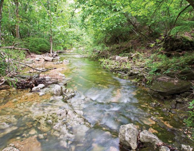
In 2010, the 240-acre Little Niangua River Natural Area was designated, so named for the river that flows west to east through the area. Considered the primary natural community feature, this river is home to a number of aquatic species including the federally threatened Missouri endemic Niangua darter. Collectively, the aquatic habitat, riverfront forest, woodlands, glades, and karst topography add to the uniqueness of this natural area.
Visitors can access the conservation area and designated natural area by a service trail that starts at the area’s only parking lot off of Kolb Hollow Road. The trail traverses across a bottomland field, over a small stream known as Kolb Branch. It then crosses a moderately steep landscape and offers visitors the choice of a vista overlooking the river at Horseshoe Glade or switchbacks leading down to the riverfront forest. The entire area supports a good population of white-tailed deer, turkey, and a variety of other game species. Burnt Mill also provides important habitat for migrant songbirds during the spring and early summer.
Burnt Mill Cave Conservation Area is approximately 3.2 miles southeast of Climax Springs, Missouri, off of Kolb Hollow Road.
—Paul Johnson, area manager
Burnt Mill Cave Conservation Area
- Recreation opportunities: Hiking, wildlife viewing, and hunting under statewide regulations.
- Unique features: Glades (Horseshoe Glade), managed woodlands, Kolb Branch, Little Niangua River, and the Little Niangua River Natural Area.
- For More Information: Call 573-346-2210 or visit mdc.mo.gov/a200902.


And More...
This Issue's Staff
Managing Editor - vacant
Art Director - Cliff White
Staff Writer/Editor - Brett Dufur
Staff Writer - Jim Low
Photographer - Noppadol Paothong
Photographer - David Stonner
Designer - Stephanie Thurber
Circulation - Laura Scheuler


