Annual Prospects Report
This section of the Current River extends 70 miles from Akers Ferry to Van Buren through Shannon and Carter counties offering some of the most spectacular scenery, clear water, and great smallmouth bass fishing. This is one of the most popular stretches of river in the Ozarks for floaters. A smallmouth bass sample was completed in September of 2023 in this section of river and the size structure of fish should be similar to recent years with the greatest number of fish between 8-12”. About 25% of the fish in our 2023 sample near Powder Mill were over 12”. In 2011 and 2013, a smallmouth bass tagging study was implemented in this section of the Current River with an overall harvest rate of 26 percent and 57 percent of angler reward tags returned within one year indicating a high amount of fishing pressure on smallmouth bass. The best places to target smallmouth bass are along rocky sections of the bank and in deep pools with plenty of structure such as rootwads or boulders.
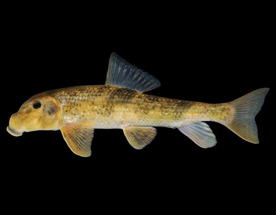
In 2017, a seven-inch minimum length limit regulation was put in place for shadow bass (goggle-eye) on the entire Current River. Goggle-eye fishing should be like the last few years with about a third of the population sampled being over seven inches long in the most recent sample. Goggle-eye tend to congregate around rootwads in moderate to slow moving water and can also be caught in eddies below swift moving riffles. Chain pickerel are common in the sections of river between Akers and Two Rivers and can be found among the thick vegetation in slow moving pools and backwaters. Suckers are abundant in these waters with Northern hog suckers making up 36% of suckers in the most recent sample and redhorse species or “yellow” suckers making up the remaining 64%. The best way to access sport fish habitat on this stretch of river is by floating a kayak, canoe or johnboat as some deeper runs and pools may make wade fishing difficult in this section. The use of jetboats for angling and recreating is more common after the Two Rivers access. The National Park Service has camping and access sites at Pulltite, Round Springs, Two Rivers, Powder Mill, and the US Forest Service access at Watercress in Van Buren to aid in planning your float trip. For an Ozark Scenic Riverways map of these and other access sites contact the National Park Service in Van Buren at 573-323-4236.