Area Information
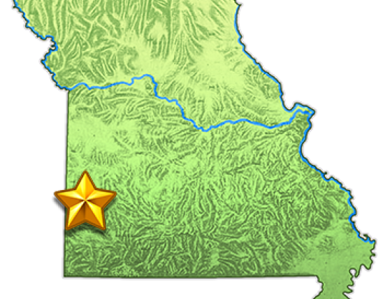
Driving directions: South and east of Mindenmines on Route M, one mile south of Highway 160.
Annual Prospects Report
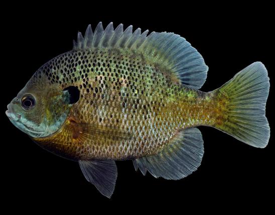
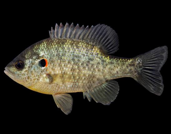
Numerous ponds and strip mining pits are available for fishing at Shawnee Trail Conservation Area in Barton County. Forty-one bodies of water totaling more than 82 acres of water are located on the area. The largest is 14-acre Pin Oak Lake. Amenities include a gravel parking lot, handicap accessible boat ramp, primitive gravel camp sites, and privy. Largemouth bass, bluegill, redear sunfish, and channel catfish are present in Pin Oak Lake with channel catfish providing the best fishery. Most of the bodies of water on the area contain largemouth bass, channel catfish, and a variety of sunfish species which can provide good fishing. Channel catfish should continue to provide good fishing as they are stocked in several easily-accessible ponds and strip mine pits. Largemouth bass greater than 20 inches, sunfish above 10 inches, and channel catfish up to 28 inches in length have been observed in various ponds and pits during surveys. Best bets: catfish in ponds 36, 39, 40 and pits 1 and 29; largemouth bass in pits 4, 5, 10 and ponds 34, 35, and 40; and sunfish in pits 4, 24 and pond 35. Efforts to maintain improved access in the form of mowed trails to the strip mine pits and ponds on the area continue and will provide opportunity for anglers to access the various bodies of water on the area.
From Mindenmines go east on Highway 160, take Route M south 1 mile to the area.