






Points of Interest:
- Hike to the top of a very scenic bluff with a commanding view of the Little Niangua River valley.
- Explore large areas of dolomite glades in the process of restoration.
- Take a canoe trip along the scenic Little Niangua River.
Natural Features:
This area helps to conserve the Niangua darter, a colorful fish found only in Missouri’s Osage River basin and nowhere else in the world. In addition to the Niangua darter, seven other darter species ply the waters of the Little Niangua River here. Underground, below the scenic bluffs and glades, a cave system occurs and provides spring flow for the river. Visitors to the area will see eastern red cedars that have been felled and burned and other management actions taken to restore the historically open glade bluff tops here. Gum bumelia, a small tree species adapted to life on glades, grows here. The bumelia borer also inhabits this area. This southern U.S. beetle species is specific to its host plant, gum bumelia. Adults can be found perched on the lower trunk and on flowers of the host tree. They are extremely wary and emit alarm pheromones to warn others when disturbed, making them very difficult to approach and photograph. Larvae bore in the lower trunk and roots of living bumelia trees.
This natural area is within Burnt Mill Cave Conservation Area. From the intersection of highways 7 and NN in Climax Springs, head east on Highway 7 for just under a half mile. Turn right (south) onto Kolb Hollow Road (County Road 7-23) and follow this east for about 3.25 miles to the parking lot on the right (south) side of the county road. Refer to the area map for the location of the area access trail.
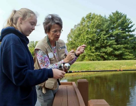
Alternatively the area could be accessed by canoe. Put in at Howard’s Ford (Camden County Road NN-166) and float downstream 1.5 miles to the natural area. Bannister Ford (Camden County Road N-165) is 1.5 miles downstream of the natural area. A map and compass are recommended to explore this area. Hunting and fishing are permitted.
MO
United States