JEFFERSON CITY–Anyone who has ever wondered how the Show-Me State looked when it achieved statehood in 1821 will want a copy of the latest book from the Missouri Department of Conservation (MDC).
“Discover Missouri Natural Areas” profiles 50 of Missouri’s more than 180 designated natural areas. The book’s author, MDC Natural Areas Coordinator Mike Leahy, chose areas that represent all 16 of the state’s natural communities in all four if its ecological regions. Captivating plant, animal and landscape photos illustrate summaries of the areas’ natural features, plants, animals and points of interest. Examples include:
• Little Bean Marsh, in Platte County, is one of the few marsh areas surviving from when Lewis and Clark passed that way more than 200 years ago. In the spring, this area is a staging area for a spectacular number and variety of waterfowl and shorebirds on their northward migration. In the winter, it is a hangout for bald eagles.
• Big Oak Tree, in Mississippi County, has trees so big you might think you have wandered into a stand of sequoias. Bring along binoculars to identify birds like the rare Swainson’s warbler, anhingas and Mississippi kites as you stroll this state park’s trails and boardwalks. The plant and amphibian life are just as diverse and beautiful.
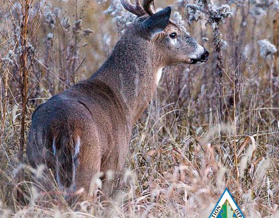
• Taberville Prairie, in St. Clair County, is one of the last strongholds of the greater prairie-chicken in Missouri. This 1,360-acre area also has nearly 350 species of wild plants, 43 types of butterflies and birds you are unlikely to find outside Missouri’s dwindling grasslands. One of the state’s last intact prairie headwater streams meanders through the area.
• Alley Spring, in Shannon County, has one of the state’s largest springs, discharging 81 million gallons of water daily. You can hike beneath old-growth shortleaf pines and tour the adjacenthistoric Alley Spring gristmill.
• Castor River Shut-Ins, in Madison County, is the only known place in Missouri where water flow has carved a steep channel through pink granite, creating a “shut-ins,” as such places are known. Here, you can take your pick of fishing for smallmouth bass or wading in the cool waters of Castor River downstream from the shut-ins.
• Hughes Mountain, in Washington County, has one of the oldest landforms on Planet Earth, a 1.4 billion year-old mountain of volcanic rhyolite. The hexagonal columns of the cooled lava poking up from the earth’s ancient bowels here echo those at Devil’s Tower National Monument in Wyoming. If you can take your eyes off the geological wonders, check out the glade plants and animals or the spectacular view of the surrounding Ozarks.
• Pickle Springs, in Ste. Genevieve County, is a geological and biological wonder of a completely different kind. Here, water has carved sandstone into weird shapes called “hoodoos” and created dozens of large and small waterfalls. The area’s cool moist box canyons provide a safe haven for plants left over from the last ice age. Bring along a camera if you visit this area in the spring. Showy rose azaleas bloom along the sandstone valley.
“Discover Missouri Natural Areas” has a table that enables users to compare special features, natural communities and recreational opportunities on all 50 areas. These include trails on 35 areas, boat access to seven and hunting and fishing opportunities on another 34 of the areas profiled.
Also included are sections explaining natural community types, Missouri’s ecological geography, guidelines for visiting natural areas and how to use the book’s features. There is even a glossary to explain special terms and a list of scientific names to help users who want to find more information about natural areas’ inhabitants.
“Discover Missouri Natural Areas” costs $9 plus sales tax and shipping and handling. To order, call toll free 877-521-8632 or visit mdcnatureshop.com.
-Jim Low-